Community
Interactive Map
Toggle layers for approximate neighborhood areas, parks, trails, schools, shopping, and gated entries. Tap anything to learn more.
Approximate areas. Shaded areas and dashed trail lines are APPROXIMATE general areas sketched from the street descriptions in the EIR. They are not official boundaries, lot lines, or trail alignments.
Brea 265Neighborhood areas (approx.)Trails (conceptual)ParksSchoolsShoppingGated entries (approx.)Civic
Locations: OpenStreetMap contributors (Nominatim/Overpass), retrieved Oct 17, 2026. Gate and trail locations are approximate [S2].
Getting around
Close to freeways, shopping, and some of North Orange County’s best open space.
Freeways
- SR-57 (Orange Fwy) to the west via Lambert Rd or Imperial Hwy
- SR-90 (Imperial Hwy) to the south
- Carbon Canyon Rd (SR-142) on the north edge, toward Chino Hills
- SR-91 farther south via SR-57 or Valencia/Rose
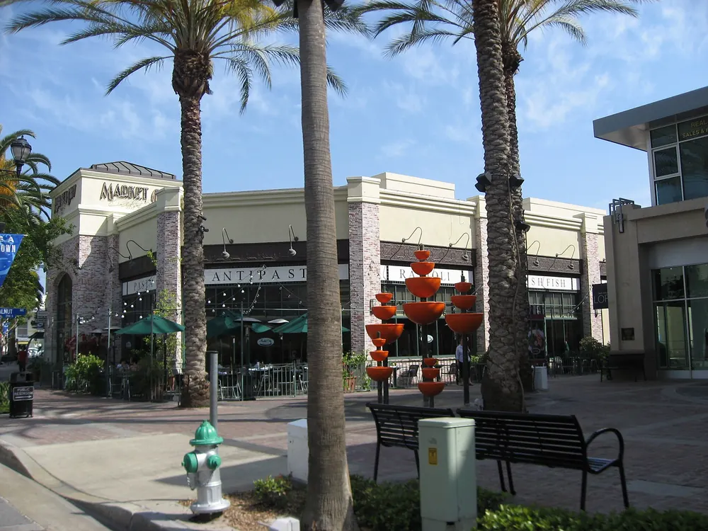
Shopping & dining
- Costco (proposed): 200 S. Kraemer Blvd., about 1.5 miles west. In environmental review, not yet approved
- Brea Mall: about 2 to 3 miles west
- Downtown Brea (Birch St): restaurants, theater, events
- Brea Plaza and Imperial Hwy retail corridor
Distances are approximate straight-line estimates from map coordinates.
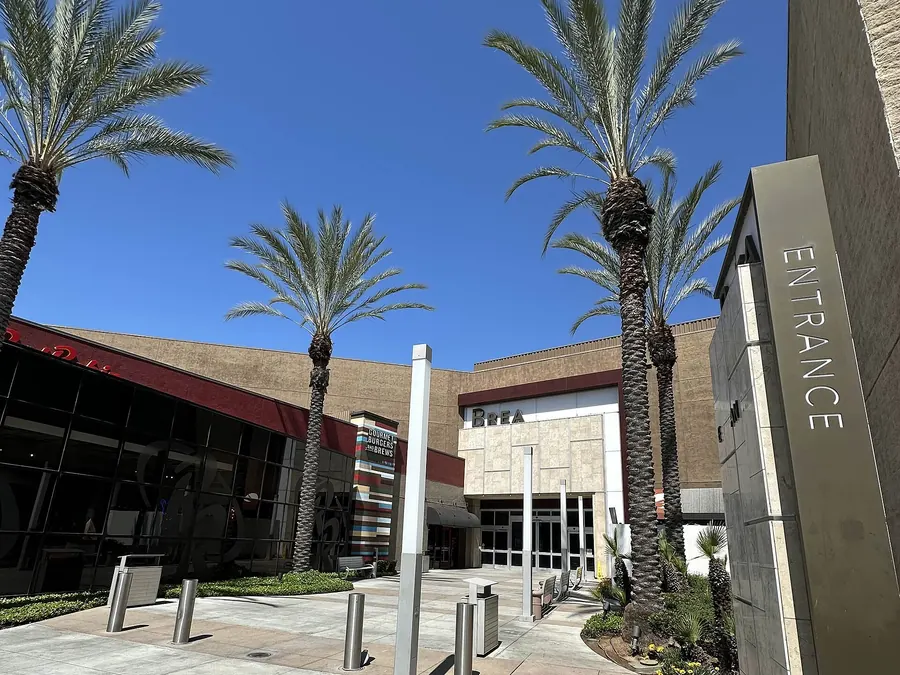
Places on the map
- Brea 265 (approx. center)
- Valencia Ave & Lambert / Carbon Canyon Rd
- Valencia Ave & Rose Dr
- Staging Area Park & Trailhead (planned)
- Brea Sports Park (+13-ac expansion planned)
- Carbon Canyon Regional Park
- Chino Hills State Park
- Olinda Elementary School
- Brea Junior High School
- Brea Olinda High School
- Brea Mall
- Downtown Brea
- Brea Plaza
- Brea Civic & Cultural Center
- Gated entry: Valencia Ave & "B Street" (approximate)
- Gated entry: Rose Dr & "P Street" (approximate)
- Pedestrian tunnel under Lambert Rd (approx.)
- Costco (proposed)